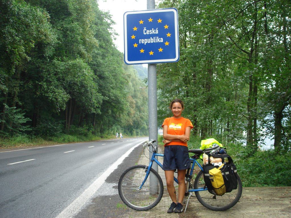
Dresden-Pirna-Bad Schandau-Děčín-Litoměřice
Trip dist: 126 kms. Trip time: 8 hrs, 59 min. Tot dist: 5,212 kms.
Well, just in case you were wondering, how do I quickly type all those special characters on top of the consonants in the names of the towns above? Simple! Cut and paste from the Czech webpages! (yeah, it is a pain dealing with the html stuff since Firefox doesn't even read it correctly anyway unless you use the numerical symbol number, and who has the time to look all of them up anyway?)
Anyway, I decided to head towards Prague on the Elbe Radweg, though I wasn't particularly looking forward to the extra 50 kms (as I've said before, one of the many drawbacks of the radwegs is that they tend to meander a lot more, and in this case, the river meanders quite a bit), because as it happens, there is this great German National Park only about 30 kms from Dresden known as Sächsische Schweiz, which has really pretty mountains, awesome sandstone formations perfect for rock-climbing, and in general lots of very nice lancscapes, and as it happens the Elbe Radweg cuts just right across it, and judging from the rave reviews this park had gotten in the Youth Hostel at Dresden and the pretty pamphlets I had seen at the reception advertising the hiking tours to Bastei peak, well, it seemed like the park was something not to miss.
So I very much enjoyed the ride today, in spite of the fact that it started raining right after my little breakfast/lunch break on top of a hill at the entrance of the park, where I had no canopy cover, and which you can probably tell if not from the misty pictures at least from my frizzy hair (see for instance picture above ;P), and the fact that the ride was extremely tiring (the bike path signals say you need to take the ferry at one point and head for the shore on the opposite side of the river, then continue there for a while before eventually crossing back over a bridge, but engineer Elisa hates these kinds of "inneficiencies" so I tried to continue along the bike path even after, though it had started paved, it turned to gravel, then dirt, and eventually....an uphill path cum wooden staircase for hikers. Pushwalking the bicycle up that became out of the question after two hikers coming down said that the trail peaked in about an hour's hike uphill, so back to the ferry station it was. After arriving to the ferry station where all the short-distance/touring cyclists were sitting around waiting for the ferry does Elisa now take the ferry? No, she tries to cut across on the minor auto roads marked on the car road atlas to try to catch the bike path after the bridge crossing, without knowing, of course, that this requires an 18% slope climb which the road atlas, having no gradient markings, does not show. Imagine climbing up that when you're carrying 30 kgs of panniers and the oily road is wet and slippery from the rain, and your sneakers give you no traction from wear and use. Yup. A group of 4 German cyclists--1 male and 3 women kindly took turns helping me push the bike from behind for half of the slope, which I found most kind, and they most comical. Oh well. Luckily the 18% climb lasted only about 1 km or so. I did save myself what...like 2 kms of riding with this little "shortcut". But obviously I probably saved something like negative 40 minutes, in terms of time, waiting for the ferry included. :P. Lesson learned: Elisa, after you've decided to follow the radweg, then follow it to the hilt, no "shortcutting" or "brilliant variations". That only works when you're playing chess, and then only if you're Kasparov. :))
Anyway, there were lots of short-distance cyclists on the bike path today, which was comforting, because not knowing the language can make one very lonely.

No comments:
Post a Comment